VENUE MAP


TRANSPORT


Street metered car parking for up to four hours is generally easy to find close to entry gates. Please note that parking conditions vary according to nearby events. The City of Melbourne enforces parking restrictions in the area.

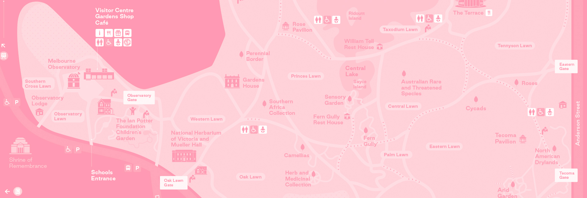
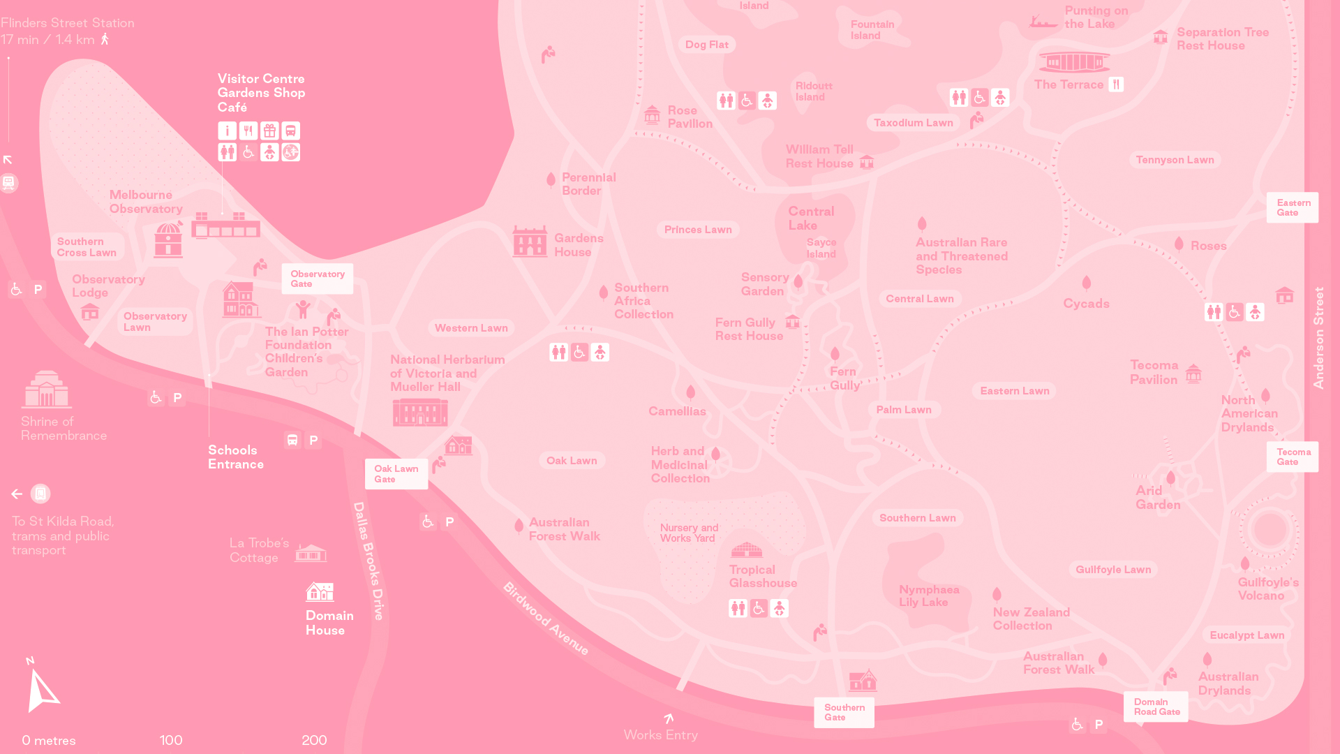
Disabled parking bays are marked on the Interactive Map. Please visit our Accessibility Guide here for more information.

Route 605
Stop: Melbourne Observatory/Birdwood Avenue. It is a 200m walk from the bus stop to Observatory Gate.


From 17 November 2024, passengers on routes 603, 604 and 605 will have new timetables and route path changes due to the completion of major works on Anzac Station and the reopening of nearby roads.

Passengers will benefit from new timetables, making it easier to access key destinations such as Burnley, Hawksburn, Elsternwick, and Anzac stations, as well as the new Australia Post head office in Burnley.

When the Metro Tunnel opens in 2025, the new routes 604 and 605 paths will connect bus, tram and train services  at Anzac Station for the first time. This will allow passengers to connect with the train for quick access to Melbourne CBD, opening more travel opportunities.

For information, visit Public Transport Victoria.


Routes 3/3a, 5, 6, 16, 64, 67 and 72
Stop: 19 - Shrine of Remembrance/St Kilda Rd. It is a 650m walk from the tram stop to Observatory Gate.

For detailed public transport information, visit Public Transport Victoria.

Designated bicycle paths along the Yarra River and Melbourne CBD lead to Melbourne Gardens. Please note that the riding of bicycles and electronic scooters in the gardens is not permitted.

Dedicated bicycle parking is available near 
Observatory Gate, next to the visitor centre.